The United Nations General Assembly has backed an African-led campaign to change how the world’s continents are represented on maps, promoting projections that more accurately reflect the relative size of Africa, Europe and North America.
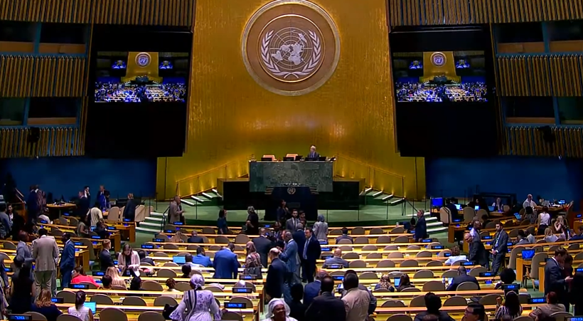
The resolution, spearheaded by Togo on behalf of the African Union, was adopted on Friday with 164 countries voting in favour, one against and six abstaining. The United States was the only country to vote against it.
The resolution promotes the use of equal-area map projections, including the Equal Earth projection, as alternatives to the widely used Mercator map, whose representation makes land masses at higher latitudes appear substantially larger than they are.
The measure is not legally binding and does not require countries or organisations to abandon the Mercator projection. It also does not prevent its use for navigation, where preserving directions and angles is important. Instead, it encourages governments, schools, international organisations and technology companies to use maps that more accurately represent the relative size of land masses.
The vote followed an African Union-backed campaign that had been building for months.
In April, the African Union entrusted Togo with taking the issue to the United Nations and advancing a draft resolution on the representation of Africa on world maps. Togo’s Foreign Minister Robert Dussey subsequently led the diplomatic push behind the initiative, which became known as the “Correct the Map” campaign.
The campaign argues that the problem is not simply technical. The way the world is depicted in classrooms, atlases and digital mapping platforms can influence perceptions of the relative size and importance of continents.
“Maps are not neutral,” Mr Dussey has argued, saying the way Africa is represented can affect how its place in the world is understood.
The campaign seeks greater use of equal-area projections such as Equal Earth, which preserve the relative areas of land masses more accurately than Mercator.
Under the Mercator projection, created by Flemish cartographer Gerardus Mercator in 1569, areas become increasingly enlarged as they move away from the equator. The projection was designed primarily for navigation because it preserves angles and makes it easier to plot constant compass bearings.
That property made Mercator highly useful for maritime navigation, but it comes at the expense of accurately representing the size of continents and countries.
The distortion is particularly visible when Africa is compared with Greenland. On a Mercator map, Greenland can appear similar in size to Africa, even though Africa is about 14 times larger.
The Equal Earth projection was introduced in 2018 by cartographers Bojan Šavrič, Tom Patterson and Bernhard Jenny. Unlike Mercator, it is designed to preserve the relative areas of land masses, allowing viewers to see a more accurate comparison of continental size.
The UN resolution says distortions in world maps can contribute to the “symbolic minimization” of Africa and influence perceptions of its development, infrastructure, economy and geopolitical importance.
For Togo, the campaign is also linked to how African geography is taught to future generations.
The country plans to revise its school geography textbooks by the end of the year and has said it wants the campaign to extend to international organisations and digital mapping platforms. Togo is also expected to engage the African Union, UNESCO and technology companies as it pushes for broader adoption.
The United States opposed the resolution
US representative Yaryna Ferencevych criticised the initiative, arguing that the General Assembly should concentrate on issues directly related to international peace and prosperity rather than what she described as distractions involving maps, reparations and “cognitive justice”.
France, meanwhile, has announced plans to move away from the Mercator projection in favour of a map that more accurately represents the area of countries and continents.
French Foreign Minister Jean-Noël Barrot said the current representation gives disproportionate visual prominence to countries such as the United States, Russia and China while reducing the apparent size of Africa, Latin America and Southeast Asia.
“Changing maps obviously doesn’t change the world,” Mr Barrot said, while arguing that more accurate maps could help change perceptions.
The debate has particular political resonance in Africa, where disputes over how the continent is represented intersect with wider efforts to challenge colonial-era narratives and institutions.
The campaign does not, however, claim that Mercator was created specifically to make Europe appear larger or Africa smaller. Its distortion is a mathematical consequence of the projection’s design and becomes more pronounced towards the poles. The issue raised by the African-led initiative is how that distortion continues to shape the visual representation of the world long after the projection’s original navigational purpose.
Friday’s vote therefore does not change the physical size of Africa or alter the maps used for navigation. It changes the political and educational conversation around which map projections should be used when the accurate comparison of land areas matters.
For the African Union and Togo, that distinction is central to the “Correct the Map” campaign: Africa is not becoming larger. The campaign is seeking to make the world map show how large it has always been.